The Great Cordillera 100
TGC 60 KM

Province of Benguet
The Great Cordillera 100
Province of Benguet
Est. Distance
63 KM
Est. Elevation Gain
3,500M D+
Cutoff Time
18 hrs
8 hrs at 31 km
Race Date
Nov 14, 2026
Gunstart
3 AM
Saturday · UTC+8
Start & Finish
Baguio City
About the Race
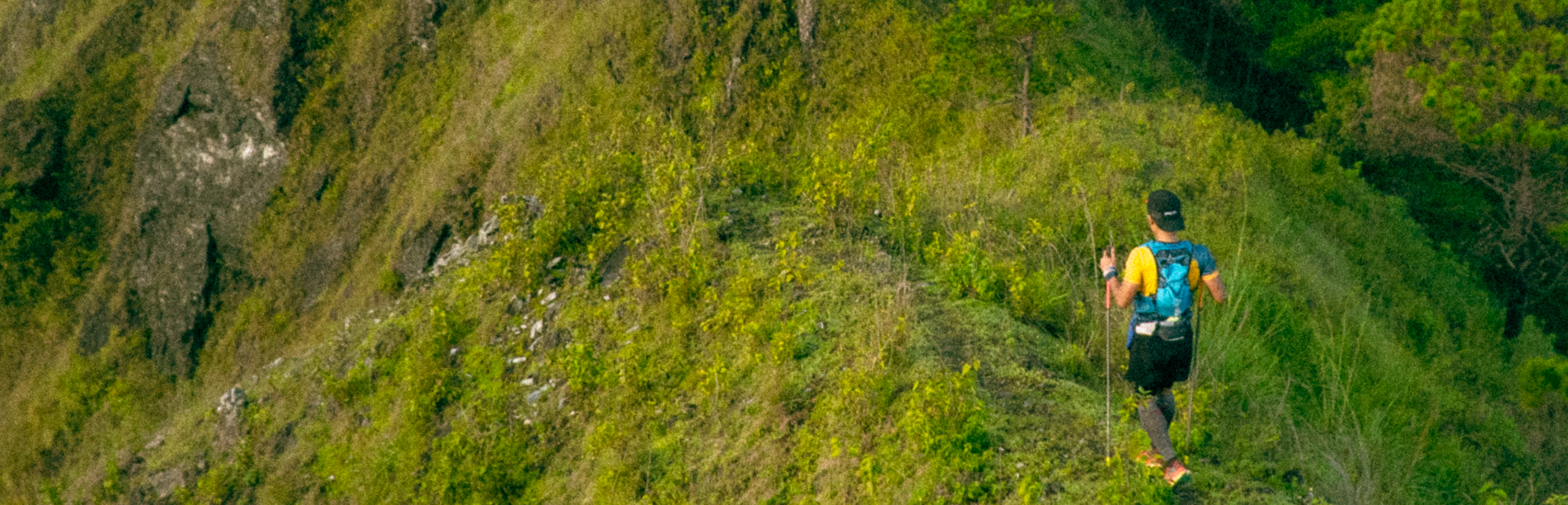
From Scout Hill, the 60K begins with a quick transition from paved road into the trails, where the course gradually opens toward Happy Hallow within the first kilometer.
Another short stretch of pavement follows before the route drops into its first sustained trail descent toward Gumatdang. This section threads through village paths, flower farms, and fruit orchards, offering a grounded introduction to the terrain while allowing runners to settle into their effort early in the race.
Route Description
From Scout Hill, the 60K begins with a quick transition from paved road into the trails, where the course gradually opens toward Happy Hallow within the first kilometer.
Another short stretch of pavement follows before the route drops into its first sustained trail descent toward Gumatdang. This section threads through village paths, flower farms, and fruit orchards, offering a grounded introduction to the terrain while allowing runners to settle into their effort early in the race.
Upon reaching Gumatdang, the course route turns right and rolls into a gradual descent toward the Tailings Dam. The terrain here becomes more expansive, signaling the shift from early race rhythm into the longer, more committing segments ahead.
From the Tailings Dam, the course continues deeper into the mountains, descending into Sitio Maligaya, an important gateway to the wider Itogon area. As the landscape opens up, the scale of the route becomes more apparent, and the journey ahead begins to take shape.
Beyond Maligaya, the route carries you into Barangay Poblacion. You'll pass by local hot springs and swimming areas, quiet landmarks that you'll encounter again later in the race. (Take note of the route thus far, as it is also your path back.)
At KM18, the climb toward the Ave Maria Shrine begins. It's a steady, deliberate ascent that leads into a brief saddle around KM19, where the landscape opens dramatically. To your left lies Sitio Sayo; to your right, Barangay Ampucao. Both offer a glimpse of the terrain still to come.
From here, the course commits to one of its defining challenges: the ascent to Mt. Kotkot. This climb demands patience and discipline. It's not a section to rush, rewarding runners who move steadily, manage their effort, and stay mentally engaged.
But at the summit, the tone shifts.
What follows atop Mt. Kotkot is a surprising stretch of singletrack along pine-covered ridgelines heading to Caoyas. Newcomers will be in for a pleasant surprise trail here. You wouldn't think that trails like these exist parallel to Mt. Ulap.
The next segment into Mt. Ulap involves steeper terrain and requires renewed focus. A descent into the valley leads to a river crossing at KM27, marking the start of the climb toward one of Benguet's most iconic trail destinations. The ascent to Mt. Ulap is earned step by step, with several peaks (its summit, Gungal Rock, and Ambanao-Paoay Peak) waiting, before a descent to Ampucao's Barangay Hall.
From here, the course turns back as you head downhill along the ridgelines. It is technical and demanding, requiring control and awareness as you make your way back toward the hot spring area passed earlier, now completing a significant loop. Reaching this point once again marks the final 20 kilometers of the race.
Enjoy the momentum, but stay sharp as the return to Scout Hill is a long, steady effort. The terrain, now in reverse, gradually climbs, testing whatever reserves you've managed to hold onto. This is where composure matters most: staying on top of your nutrition, pacing your effort, and continuing to move with purpose.
The final kilometers bring you back through familiar ground and as the trail leads you out toward Scout Hill once again, the finish line awaits.
Course Map
Fly over the route in 3D, follow the elevation profile, and see every aid station along the way.
View Route MapInclusions
From the moment you register to the moment you finish, we've got you covered; gear, timing, fuel, and a medal to prove you earned it.
Registration
Thank you to everyone who signed up. See you on the trail.
Requirements
* No disposable utensils will be provided at the aid station. Kindly make sure you have your own utensils to enjoy the different beverage and food items at the aid station.
View full gear & entry rulesRecommended
Qualifications
Registered for TGC 60? Review the race rules and mandatory gear before race day.